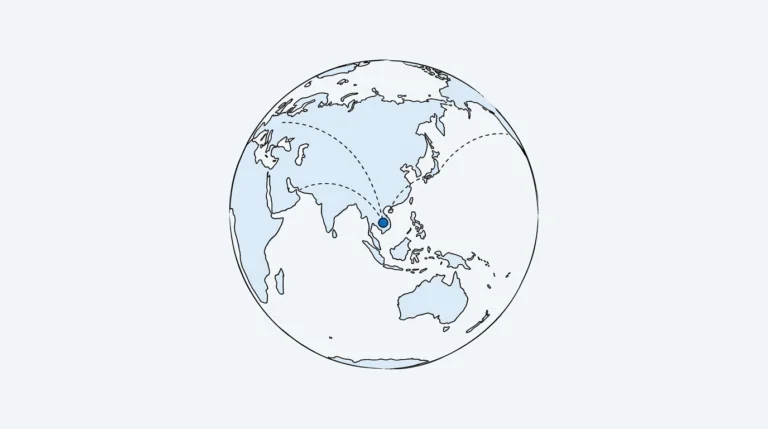
Mapping, agriculture, insurance, energy and disaster response all run on models trained on overhead imagery. Labeling that imagery well takes more than drawing polygons.
Resolution Sets the Class List
Ground sample distance (GSD) is how much ground one pixel covers. At 30 cm a car is several pixels wide; at 10 m it disappears. Decide the class list after checking what is actually visible at your resolution, or annotators will guess.
Common Annotation Types
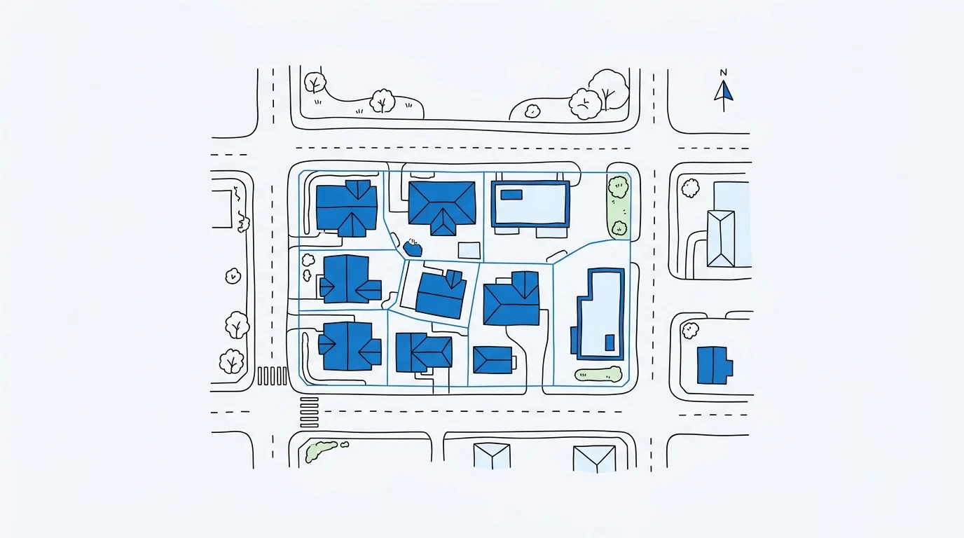
- Building footprints as polygons for mapping and population estimates
- Road networks as connected polylines with attributes such as surface type
- Land cover as semantic segmentation of vegetation, water and built-up area
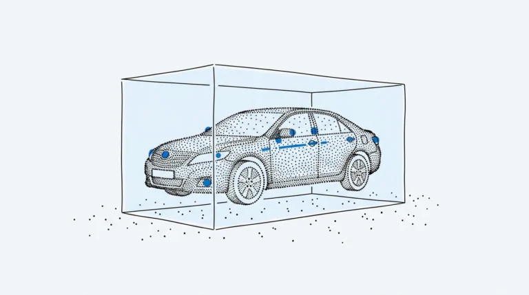
- Object detection of vehicles, ships, aircraft, solar panels and storage tanks
- Change detection comparing before-and-after images of the same area
Tiles, Edges and Coordinates
Large scenes are cut into tiles for labeling. Objects crossing tile edges must be handled consistently, either clipped or completed with overlap between tiles. Labels should keep their georeference so they can be exported as GeoJSON or shapefiles and aligned with other layers.
Hard Cases to Define Early
- Shadows and tall buildings leaning off-nadir
- Cloud and haze coverage thresholds
- Seasonal changes in vegetation and water
- Partially built or demolished structures
Quality Checks for Geospatial Labels
Beyond visual review, geospatial QA includes topology checks: roads that connect, polygons that do not self-intersect and footprints that do not overlap. Automated checks catch these faster than reviewers and free QA time for judgment calls.
About Smart Annotahub
Smart Annotahub is a managed data annotation company based in Ha Noi, Viet Nam. Our in-house annotators, QA leads and project managers turn raw image, video, 3D, geospatial, text and audio data into training-ready datasets for teams building computer vision, robotics and language AI. Every project starts with a free pilot, runs on your guidelines and tools, and ships with multi-stage quality checks.
Our Services
Frequently Asked Questions
How does the free pilot work?
Send us a sample of your data and your guidelines. We annotate it at no cost, report accuracy and turnaround, and return a precise quote, usually within a few working days.
How do you ensure annotation quality?
Every batch passes annotator self-checks, peer review and a dedicated QA lead. We agree accuracy targets up front and share QA reports with each delivery.
Can you work in our annotation tool?
Yes. Our team works in your platform or ours and delivers in the formats your pipeline expects, such as COCO, YOLO, Pascal VOC or custom JSON.
How is my data kept secure?
All work is done by our in-house team under NDA, with role-based access and no data leaving approved environments. See our Data Privacy Notice for details.
How is pricing calculated?
Per object, per hour or per project, depending on the task. See Pricing for reference rates, or request a pilot for an exact quote.
Want to see the difference on your own data?
Request Free Pilot